Colorado’s mountains will see a stormy start to Labor Day weekend, with sunshine expected by Sunday
Colorado’s lingering monsoon rains bring warnings of flash flooding and debris flows for parts of the mountains impacted by wildfires
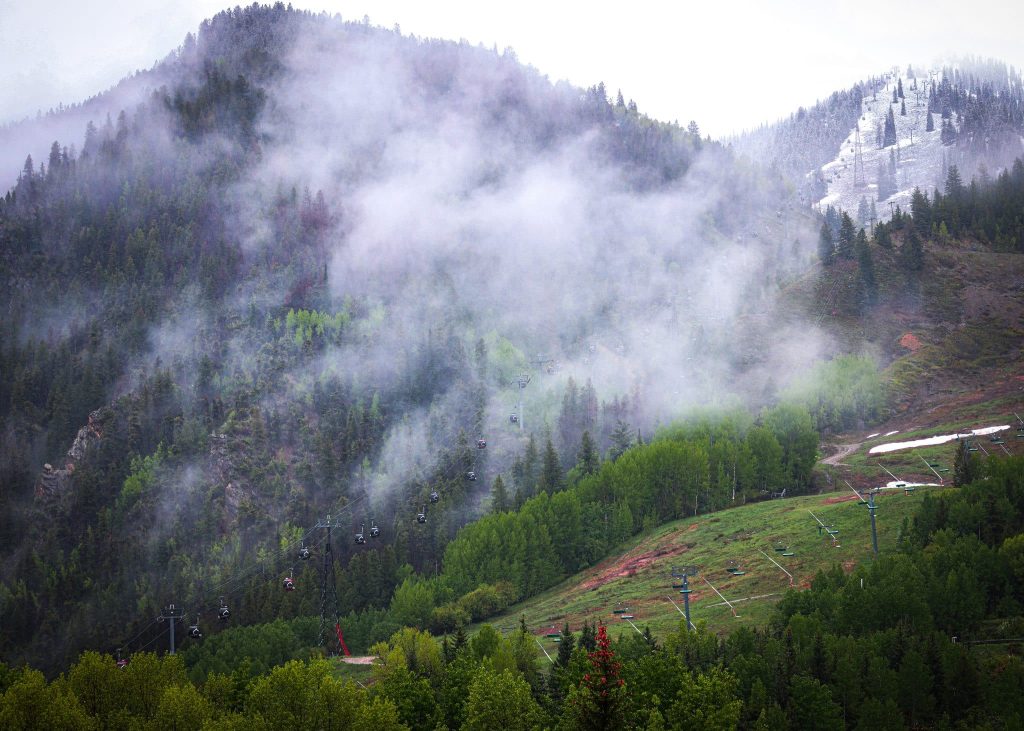
Austin Colbert/The Aspen Times
Colorado’s rainy monsoon season is sticking around for the start of Labor Day weekend, with drier conditions heading into next week.
The mountainous regions of Colorado’s Western Slope are set to experience more thunderstorms and rain on Friday — an extension of the rainy weather from the past few days — according to a hazardous weather alert from the National Weather Service. The storms could include heavy rainfall, lightning, gusty winds and even hail.
Though sensitive areas are being warned of possible flash flooding beginning Thursday night, flooding concerns will “taper off quickly overnight,” according to the report. Bruno Rodriguez, a Boulder meteorologist with the National Weather Service, said flooding is less of a risk for higher terrain mountain zones like Summit and Park counties, though minor flooding from localized storms could still occur.
Friday’s showers are more steady as opposed to the scattered, mainly due to a big push of moisture coming in from a tropical system in the Pacific Ocean, according to Grand Junction Meteorologist Gillian Felton with the National Weather Service.
The risk of flash flooding significantly reduces Saturday, with some scattered showers and thunderstorms still expected for higher terrains. Temperatures will warm back up to climatological normals Sunday, with drier conditions extending into next week.
“September tends to actually be a rainier month in this region, with the monsoon,” Felton said. “Precipitation wise, we’re generally still below where we would be in other years.”
A return to warmer temperatures
Destinations like Aspen and Vail are on the cooler end in terms of weekend temperatures, with highs in the mid-50s to mid-60s from Friday into Labor Day despite clear, sunny skies beginning Sunday.
Meanwhile, Glenwood Springs and Steamboat Springs are on the warmer side, with temperatures in the low-70s earlier in the weekend, reaching 80 degrees by Monday. Frisco’s 65 to 75-degree weekend will see more of a middle ground.
Felton said the region’s temperatures from Thursday night into Saturday are below normal for this time of year, partially due to the increased cloud cover as more moisture moves in.
“We’ll have a bit of a pattern shift as we move into the second half of the weekend, as that drier air moves in as well, so temperatures will start to climb a little bit back towards normal,” Felton said.
Starting Monday and continuing through the week, temperatures begin to trend up to 5 degrees above normal for most of the high valleys, Rodriguez said.
A reminder to recreators: ‘Wear a life vest’
Those who plan on hitting the road for the holiday weekend should be aware of potential flooding and debris flows in their area, especially in parts of the state with notable burn scars from recent or ongoing wildfires.
“The flooding on the burn scars has definitely also been a big concern,” Felton said. “We have seen some debris flows over the past few days. … And we have had some localized flooding as well over some highways with heavier rainfall.”
For those hoping to enjoy some water recreation during the holiday weekend, especially in the afternoon hours, Rodriguez said lightning and localized outflow winds should be a sign to get out of the water.
“Obviously, wear a life vest,” Rodriguez said.
Despite the more active rain pattern moving across the state, Rodriguez said parts of the mountain region haven’t received much rain, meaning many are still seeing expansive drought conditions and face notable fire risk as people head out of their Labor Day vacations.
“Once we dry and warm back out, probably by next week, we’ll still carry some of that fire danger through,” he said “So (we) would certainly not have nearly enough rain to be able to mitigate that danger long term.”

Support Local Journalism

Support Local Journalism
Readers around Glenwood Springs and Garfield County make the Post Independent’s work possible. Your financial contribution supports our efforts to deliver quality, locally relevant journalism.
Now more than ever, your support is critical to help us keep our community informed about the evolving coronavirus pandemic and the impact it is having locally. Every contribution, however large or small, will make a difference.
Each donation will be used exclusively for the development and creation of increased news coverage.

