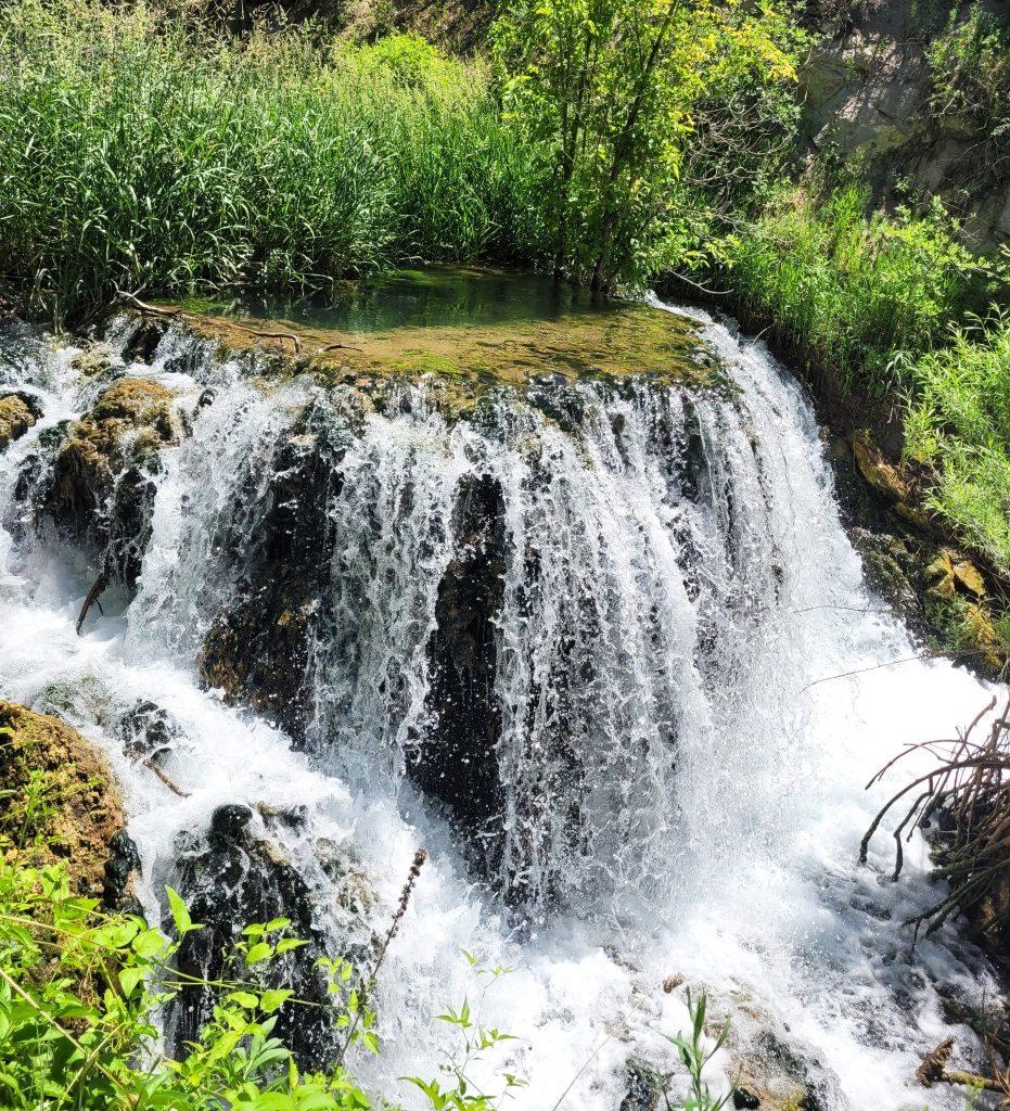
Rifle releases new interactive parks map

Katherine Tomanek/Post Independent
Rifle’s Parks and Recreation Department announced last week that they’ve launched a new interactive parks map to make it easier for residents and visitors to explore Rifle’s parks, trails and recreational amenities.
Playgrounds, sports fields, picnic shelters, restrooms, trailheads and more are available in Rifle’s parks systems, allowing them to be added to this new interactive map to find.
“Our goal was to create a convenient and engaging way for people to connect with our parks,” Rifle Parks and Recreation Director Austin Rickstrew said. “Whether you’re planning a family outing, looking for a hiking trail, or just curious about what’s available in your neighborhood, this map puts all that information right at your fingertips.”
The map is part of the department’s broader effort to improve information access and enhance the overall experience for park users. To access the map, visit rifleco.org/RifleParks.

Support Local Journalism

Support Local Journalism
Readers around Glenwood Springs and Garfield County make the Post Independent’s work possible. Your financial contribution supports our efforts to deliver quality, locally relevant journalism.
Now more than ever, your support is critical to help us keep our community informed about the evolving coronavirus pandemic and the impact it is having locally. Every contribution, however large or small, will make a difference.
Each donation will be used exclusively for the development and creation of increased news coverage.


