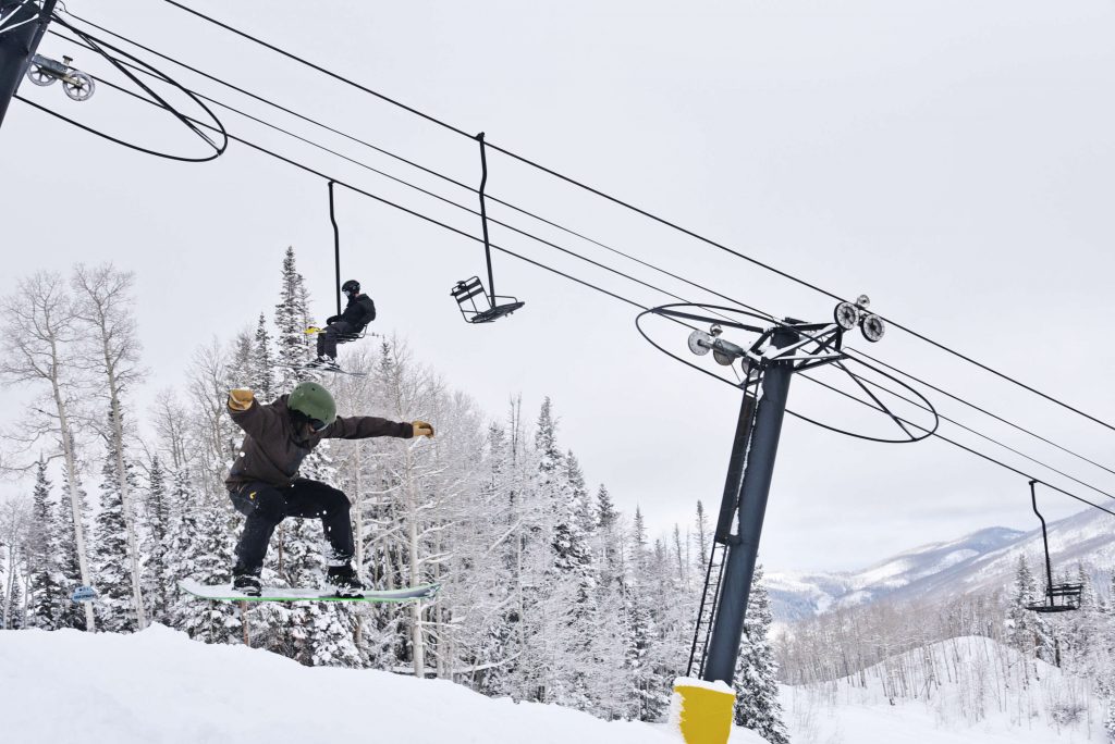
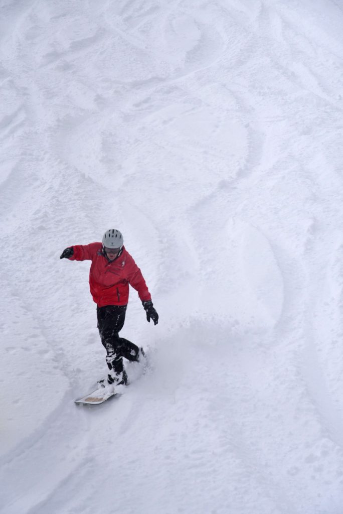
Will Colorado see a snowy winter? Early forecasts suggest mixed outcomes
Post Independent archives
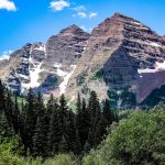
The last few weeks have been hot and dry for most of the Colorado High Country.
While last summer it was common to see frequent afternoon rain showers, this season, mountain communities like Summit County have stayed relatively dry with the major monsoonal rain showers hitting the Front Range instead.
Although the 2025-26 ski and ride season is still a couple months away, the National Oceanic and Atmospheric Administration has already released forecast maps ahead of the season.
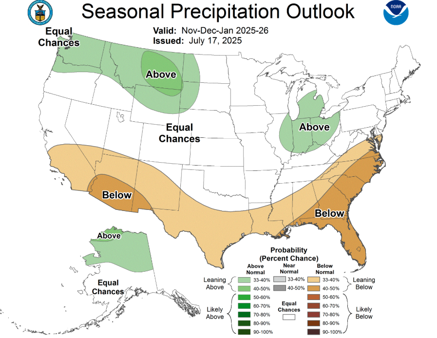
On July 17, the National Oceanic and Atmospheric Administration released a seasonal precipitation outlook map that currently predicts that the state of Colorado has an equal chance of above-normal and below-normal precipitation from Nov. 2025 through Jan. 2026.
While the map is not overly revealing of what the winter season may look like for the Central Rocky Mountains that cut through Summit County, the map does point toward above-normal precipitation levels for much of the Pacific Northwest, parts of Wyoming, Montana and Idaho as well as the Great Lakes Region.
OpenSnow has yet to release its 2025-26 full season report, but has weighed in on several early-season indicators that could make a big difference on what the winter season could look like across the country.
As explained by OpenSnow forecaster Alan Smith in a video posted to the company’s YouTube page, the El Nino Southern Oscillation is the main indicator of an El Nino/La Nina weather pattern.
For the majority of the summer, the El Nino Southern Oscillation has been stalled in a neutral pattern, but there are some indications that a La Nina is emerging due to cooler sea surface temperatures forecast in the eastern equatorial Pacific this fall.
The cooling of sea surface temperatures would likely give way to a La Nina pattern, which historically indicates that the Sierra Nevada, the Central Rocky Mountains, the Great Lakes and New England would see an influx of snowfall.
The National Oceanic and Atmospheric Administration issued a new El Nino Southern Oscillation probability map in July and it is projecting a 50% chance of La Nina conditions developing between October and January. The map also predicts a 45% chance of neutral conditions and a less than 10% chance of El Nino conditions.
While a La Nina pattern of any strength historically favors the Central Rocky Mountains, a neutral winter favors the northern and eastern Rocky Mountains as well as northern New England. Drier weather would typically then exist on the West Coast.
Based on the current forecasts, Smith and OpenSnow are predicting either a weak La Nina season or a neutral winter. Seeing a fair amount of snowfall across the Central Rocky Mountains and across the Sierra Nevada, last season was considered a neutral winter bordering on a La Nina season.
While the early season forecast gives some insight ahead of the winter season, La Nina to neutral years historically do not give much of a signal for Summit County. Over the past several years, Smith has studied weather forecasts with similar conditions, and about half featured above-average snowfall and the other half featured below-average snowfall.
“One big difference this season is that the ocean temperatures in the North Atlantic have flipped from warmer than average (last year) to colder than average (this year), and while the Atlantic is far away from Colorado, research in recent years has found that North Atlantic ocean temperatures combined with the effects of El Nino/La Nina can have significant influences on global weather patterns that also influence North America,” Smith said to the Summit Daily News.
Despite the differences in ocean temperatures, there is still about a 50/50 chance of above- or below-normal winters for the state of Colorado. Although last season was considered a neutral winter bordering on a La Nina season, like a snowflake, no two winters are guaranteed to be the same.
“There are lots of sub-seasonal weather patterns that cannot be predicted far in advance, so chances are, there will be some differences between this winter and last winter, even if we aren’t sure what those differences will be yet,” Smith said.
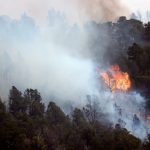
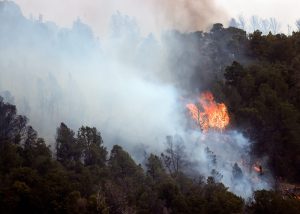
With several wildfires currently burning, Colorado could use some much-needed moisture heading into the fall season. Unfortunately, much like the winter season outlook, during fall seasons with neutral/borderline weak La Nina and cool North Atlantic ocean temperatures, September through November precipitation does not have a signal in either direction for Colorado.
With several wildfires still burning across the state, Colorado could use some much-needed moisture heading into fall. Unfortunately, when fall seasons coincide with neutral or borderline weak La Nina conditions and cool North Atlantic ocean temperatures, there is no clear trend for the state.
As a result, Colorado could either see above normal precipitation or below normal precipitation from September through November.
“It has been a very dry summer as the North American Monsoon, which typically brings frequent thunderstorms and summer rains to the Colorado High Country, has essentially been a failure this summer,” Smith said. “…So it could go either way this fall, and we’ll just have to hope for some good, moisture-laden storm systems to help negate drought and fire concerns.”
Smith compared this summer season to 2020, which saw the Cameron Peak, East Troublesome and Pine Gulch Fires — the three largest wildfires in Colorado’s history.
Smith and OpenSnow are expected to release the 2025-26 full season report later this week. For more information, visit OpenSnow.com.
Snowmass reaches preliminary consensus on Krabloonik future
Snowmass Town Council agreed that a dog-park and restaurant could be in the Krabloonik property’s future.


Support Local Journalism
Support Local Journalism
Readers around Glenwood Springs and Garfield County make the Post Independent’s work possible. Your financial contribution supports our efforts to deliver quality, locally relevant journalism.
Now more than ever, your support is critical to help us keep our community informed about the evolving coronavirus pandemic and the impact it is having locally. Every contribution, however large or small, will make a difference.
Each donation will be used exclusively for the development and creation of increased news coverage.