Stronger, colder storm to target Colorado mountains beginning Thursday

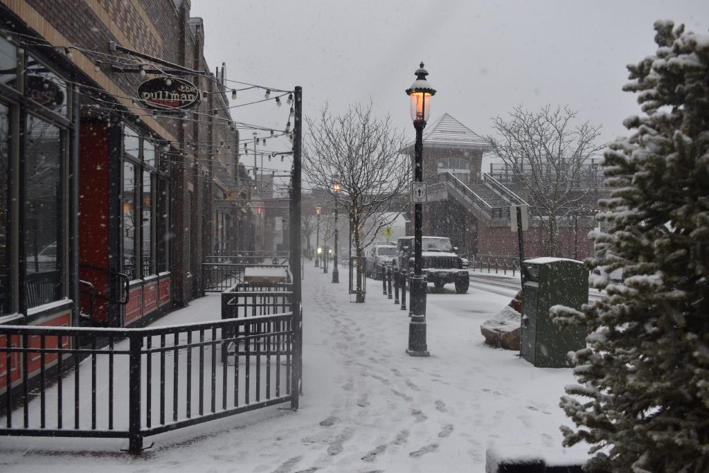
Taylor Cramer/Post Independent
After Tuesday’s light snow, Colorado’s mountains are poised to see a stronger, colder storm from Thursday night through Friday evening.
Thursday is forecast to begin with sunny skies and high temperatures in the 40s and 50s for some mountain towns, transitioning into clouds later in the day. By Thursday evening, a strong storm will move directly over Colorado and remain through the end of the day Friday, according to a Wednesday OpenSnow report.
Most mountains should get at least a few inches of snow throughout Thursday night, with winds gusting as high as 35 miles per hour for central mountain valleys and snow totals of around 1-6 inches or more by Friday morning. Snowfall will continue during the day, favoring mountains near and east of the Continental Divide for another 2-6 inches. Snow could last from anywhere between 6 p.m. and midnight for several mountains.
Most of the impact will be felt by mountain towns above 8,500 feet, according to a winter weather advisory posted by the National Weather Service, but lower-elevation valleys are still expected to see some snow accumulation.
The advisory also warns of possible travel impacts for the I-70 corridor and rural mountain roads, especially during the Friday morning commute, with some persisting snowfall during evening commute times.
“This one does have some medium-to-high potential for impacts on I-70,” said Kate Abbott, a meteorologist with the National Weather Service. “Of course, even a light dusting usually causes some impacts, especially over Vail pass.”
Friday’s temperatures will likely be cooler, with a high in the 20s for the mountains and closer to the 30s for base areas, meaning the resulting snow may be fluffy.
In terms of snow, most mountains are expected to see totals in the 3-8 inch range for the storm, with some lucky spots receiving 8-12 inches. Winter Park, for example, is projected to receive 12 inches of snow in the next 5-10 days. Steamboat Resort is projected at 10 inches of snow, Snowmass at 9 inches and Vail Mountain at 8 inches, according to estimates from OpenSnow.
Despite likely leading to “respectable or even significant snow,” according to OpenSnow, the storm’s position over Colorado for most of Friday means the forecast is slightly less certain than usual.
Abbott said the National Weather Service has higher confidence that there will be accumulating snow for the northern and central mountains, though there have been some questions surrounding the intensity of the storm.
“If we look back for the last five days or so, there’s been a lot of changes in the evolution of this system as it moves through the intermountain west,” Abbott said. “So there’s definitely still some chance for (some changes) whether the storm arrives earlier or later or shifts north or south.”
Following the end of the storm on Friday, Saturday through Monday will be dry and sunny. The next storm is forecast to bring snow from evening Tuesday into Wednesday morning, though OpenSnow said the forecast beyond that appears “sporadic” thanks to Colorado’s positioning at the edge of a colder storm track during mid-March.


Support Local Journalism
Support Local Journalism
Readers around Glenwood Springs and Garfield County make the Post Independent’s work possible. Your financial contribution supports our efforts to deliver quality, locally relevant journalism.
Now more than ever, your support is critical to help us keep our community informed about the evolving coronavirus pandemic and the impact it is having locally. Every contribution, however large or small, will make a difference.
Each donation will be used exclusively for the development and creation of increased news coverage.